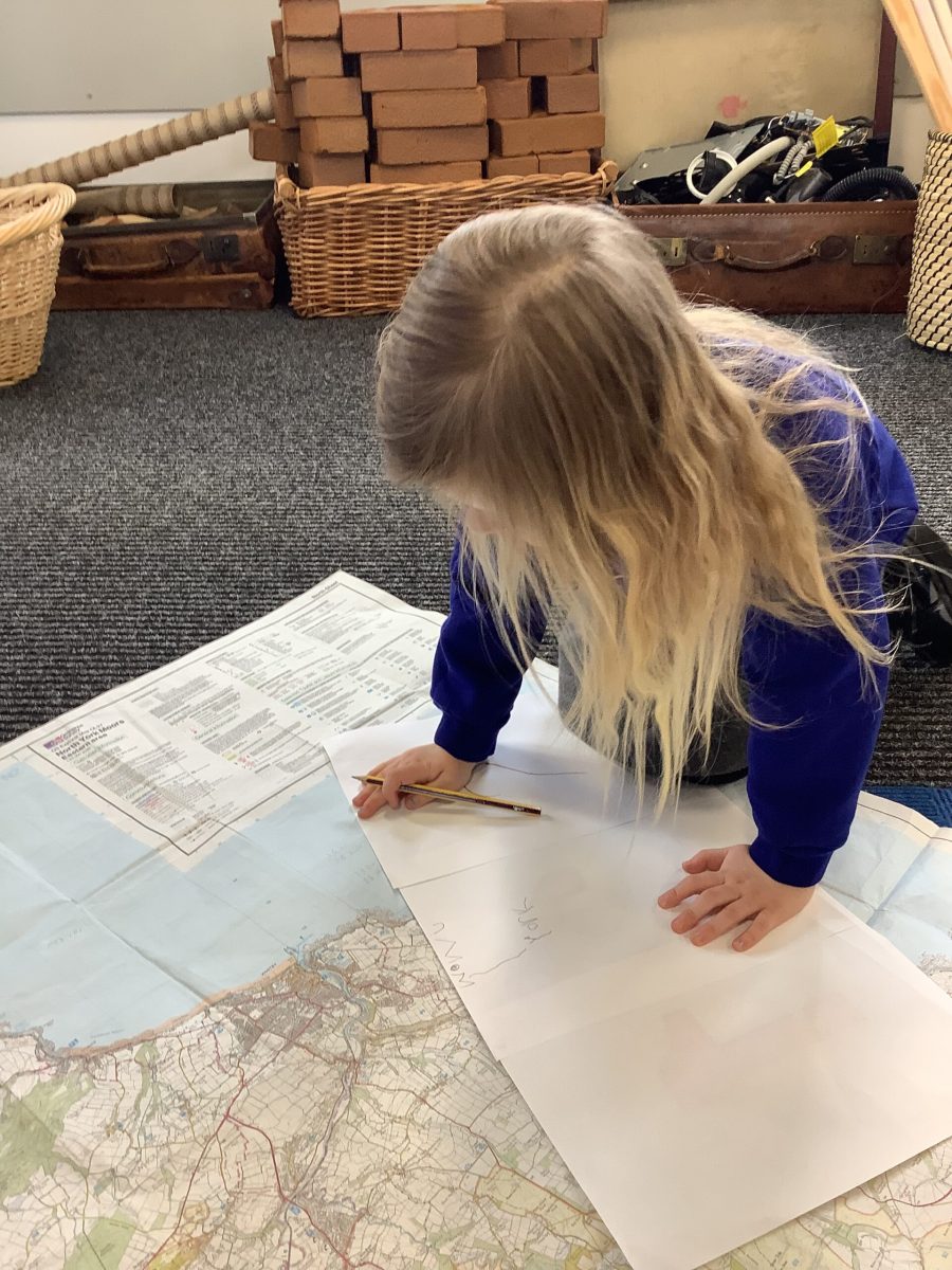
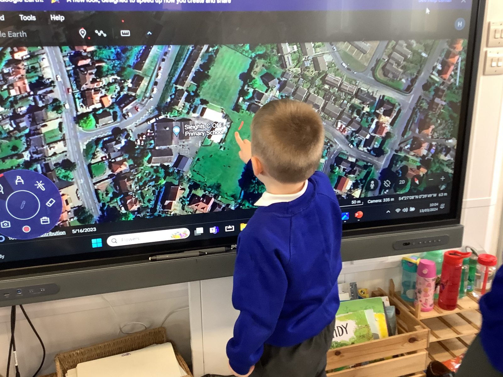
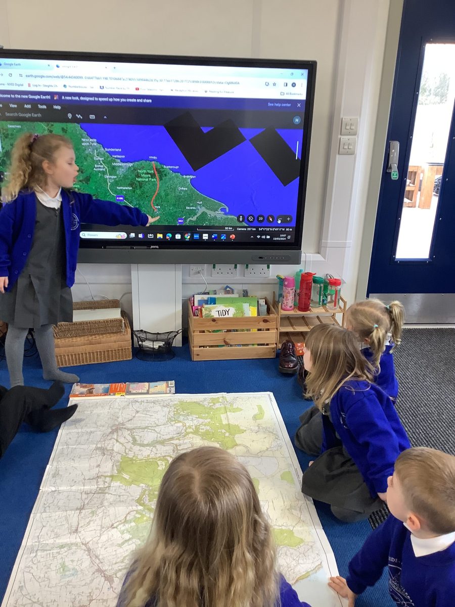
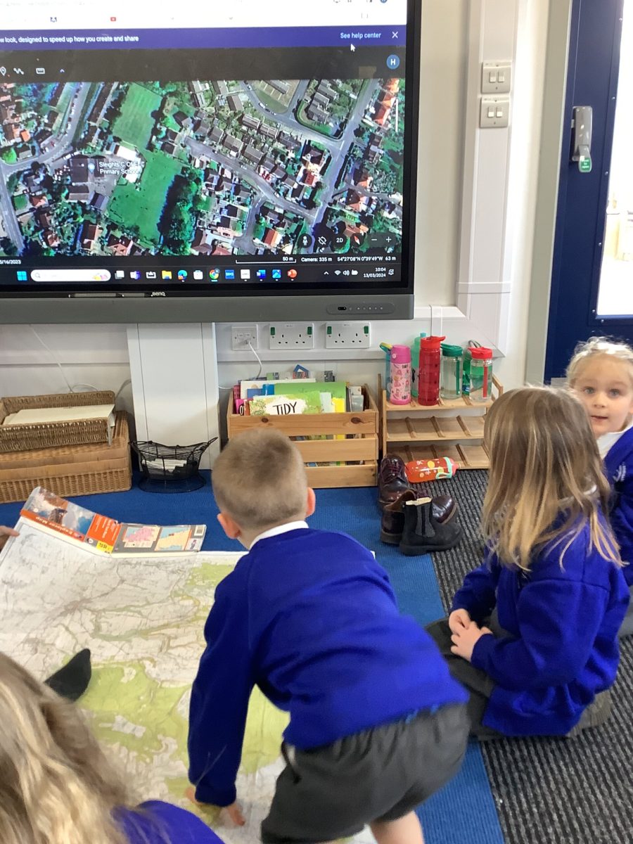
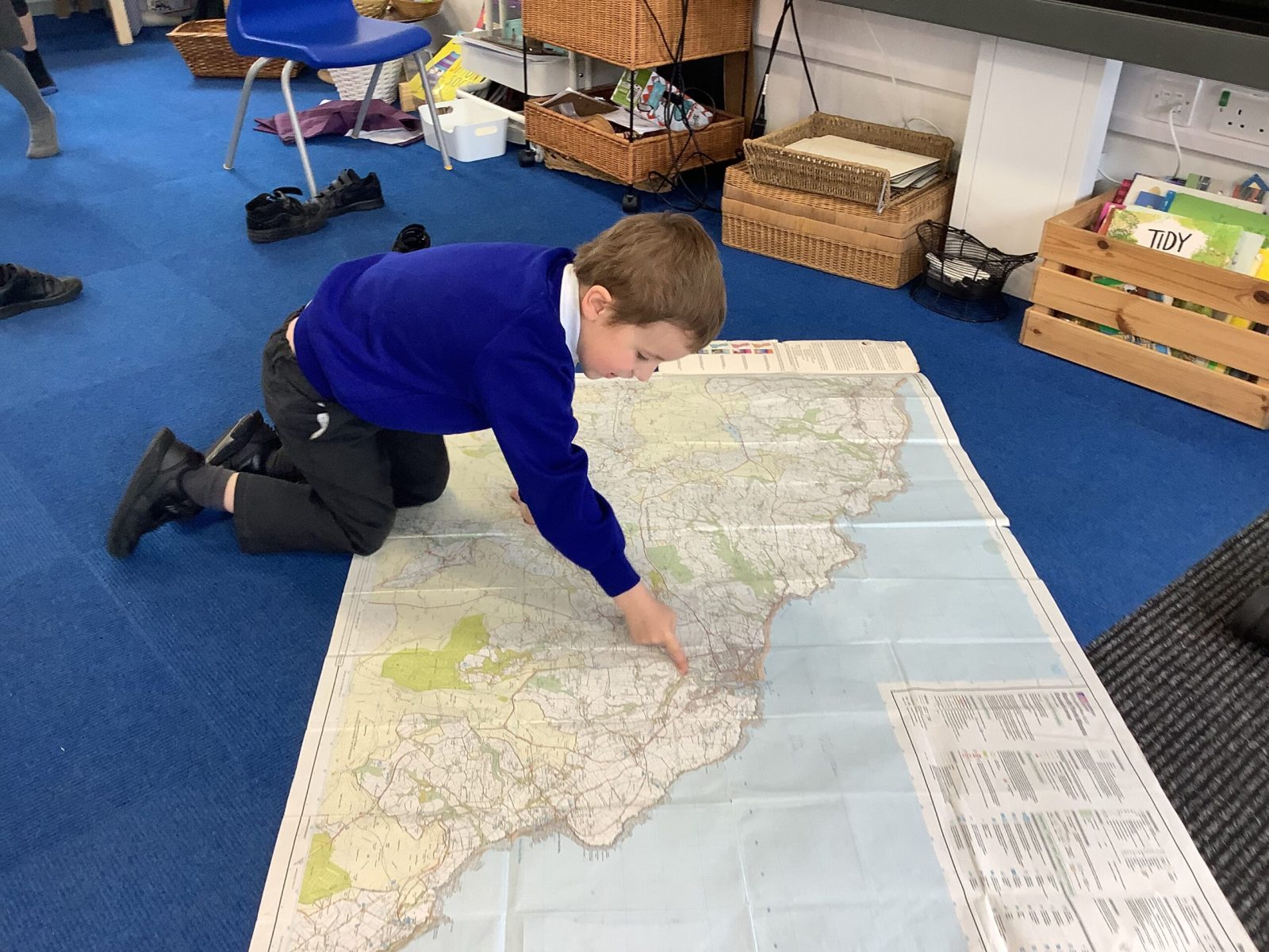
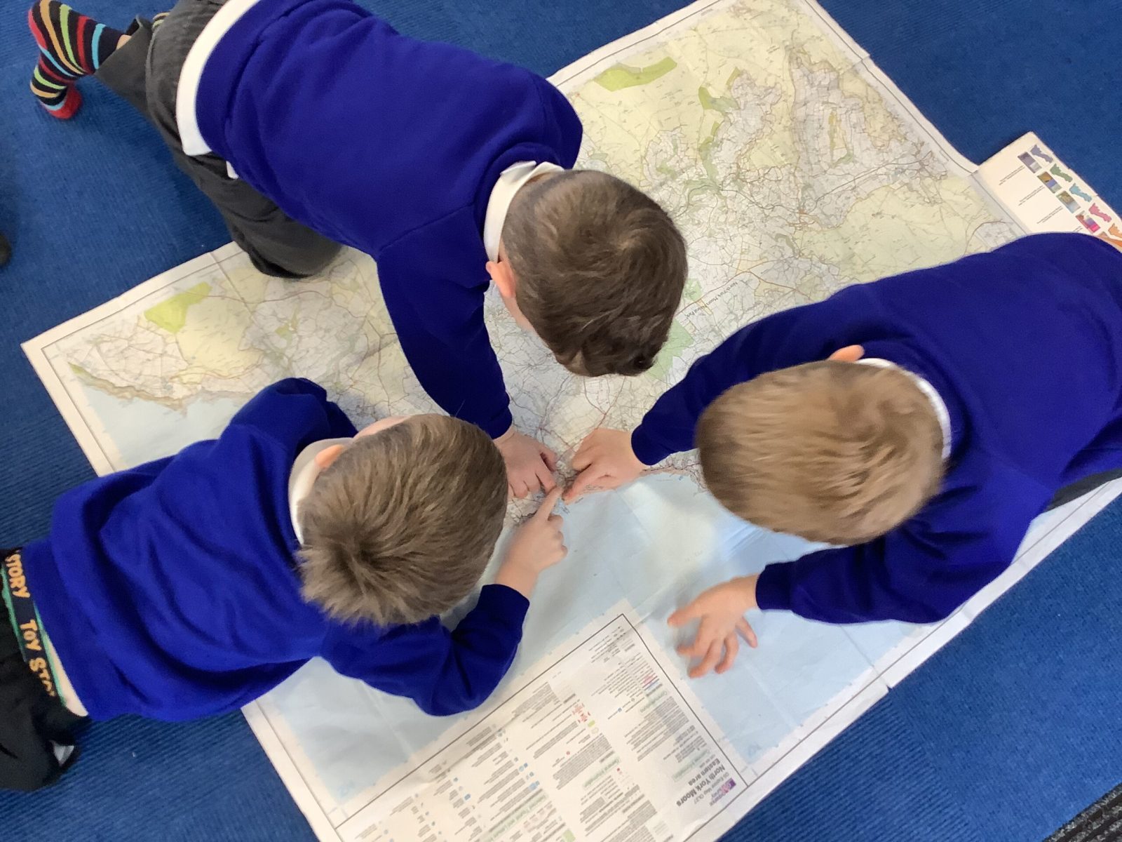
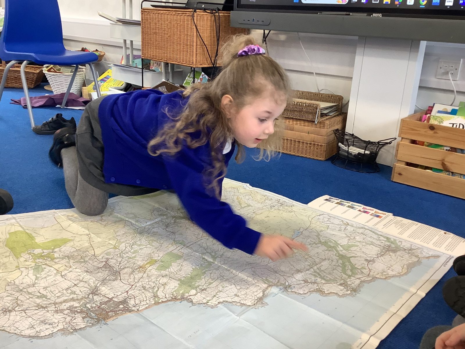
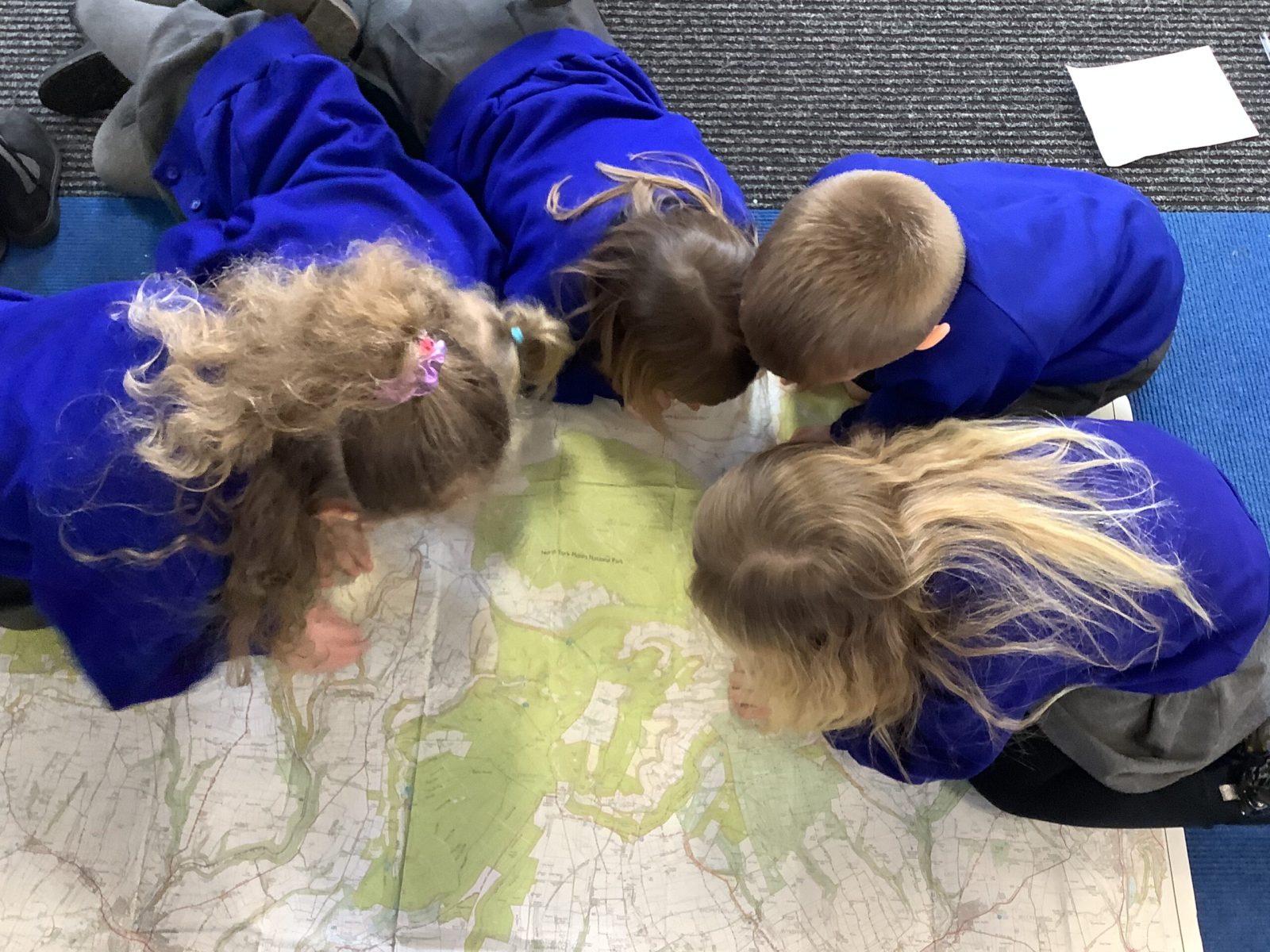
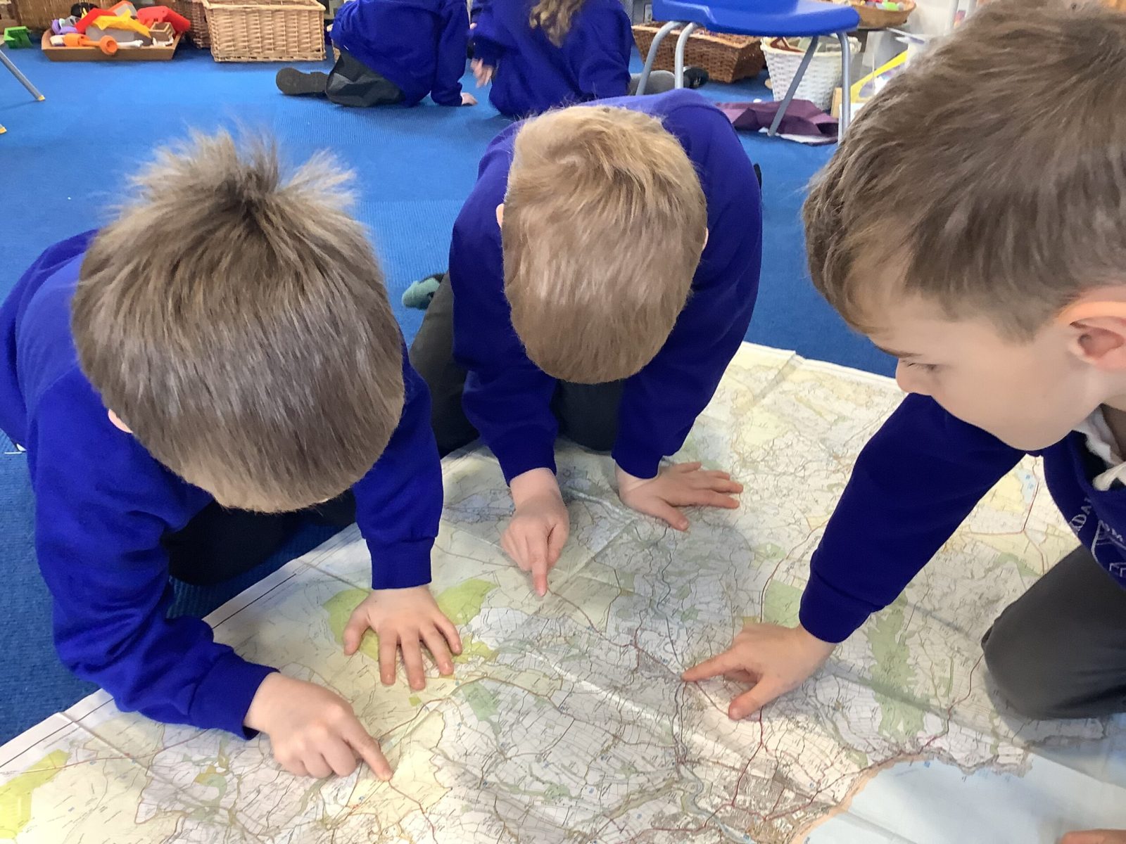
Next week we head to York on a very exciting trip. We took a look at an Ordnance Survey map to check out our route. We took a look at Google Earth and found our location. We compared this with the map in front of us. The Pioneers noticed red lines and orange lines and questioned what these were. They were able to identify the land and the sea and areas of forest. The were able to identify beaches and rocky bits too. They were also using their phonics to read some of the place names finding York and Pickering and recognising Sleights. From previous work they spotted that this map has a grid too.
We are beyond excited about going on the bus to see the trains!