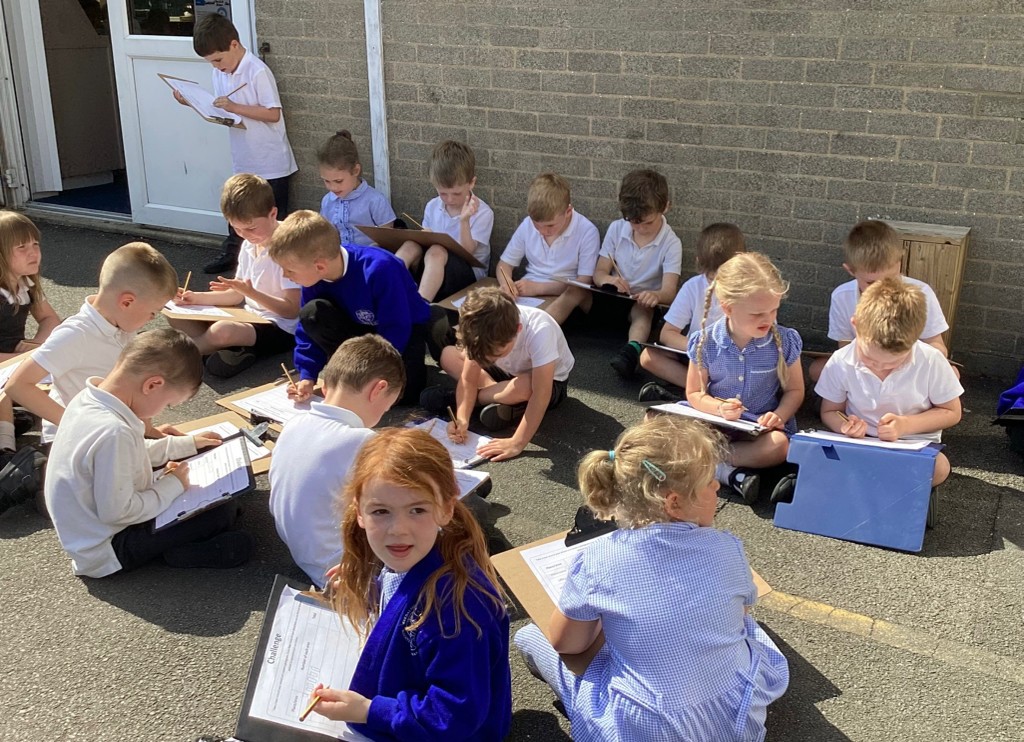
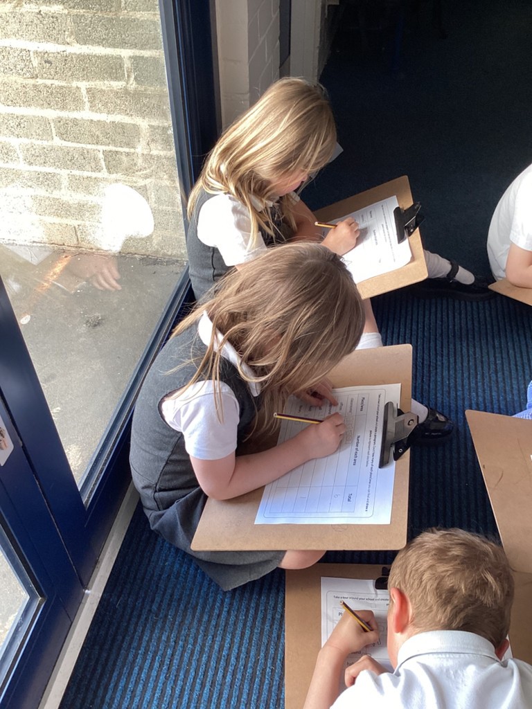
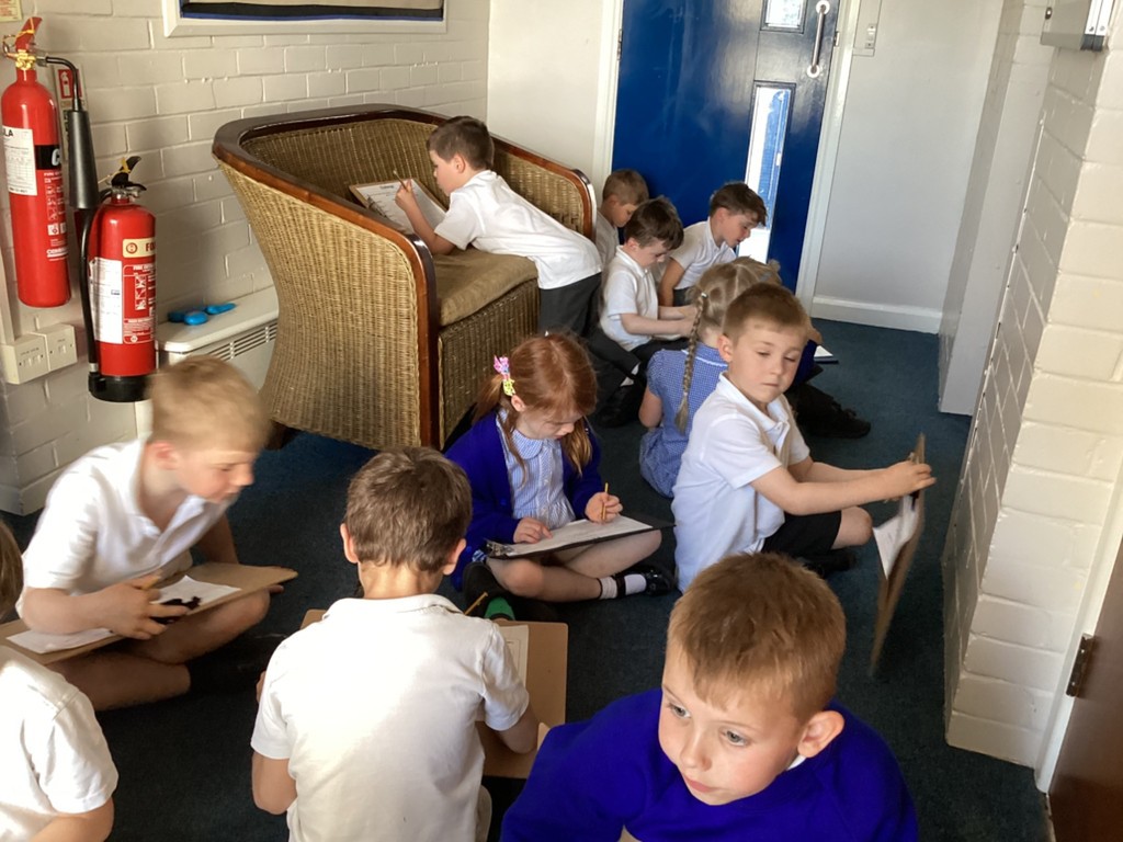
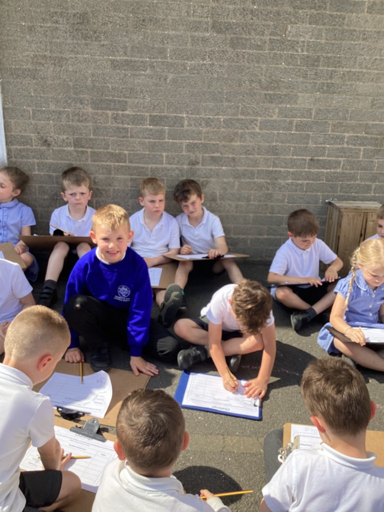
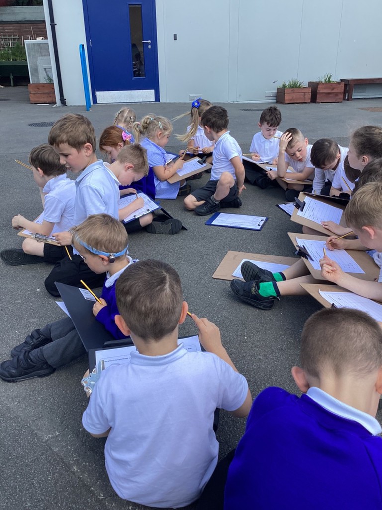
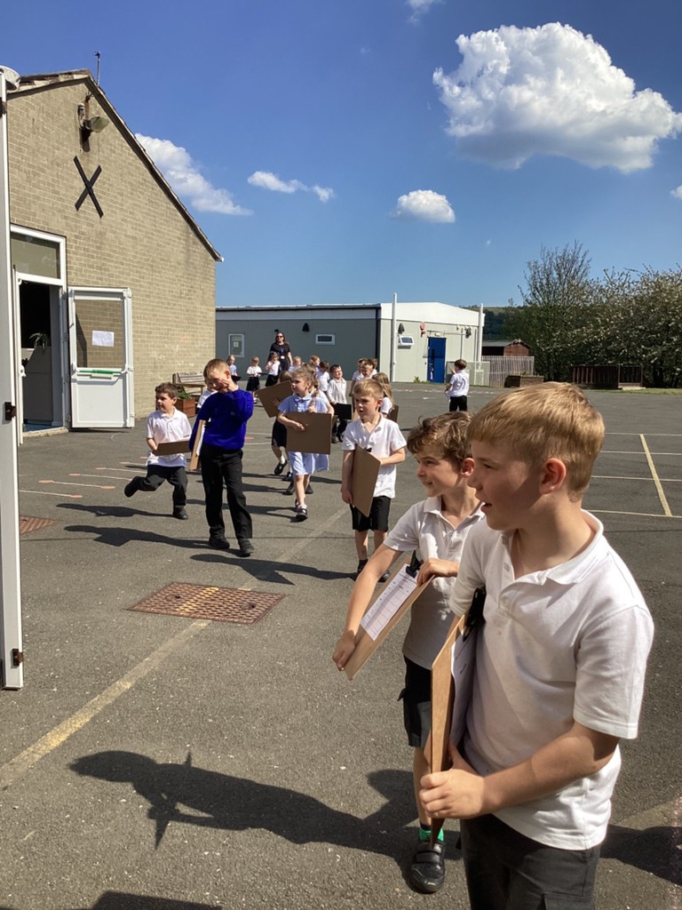
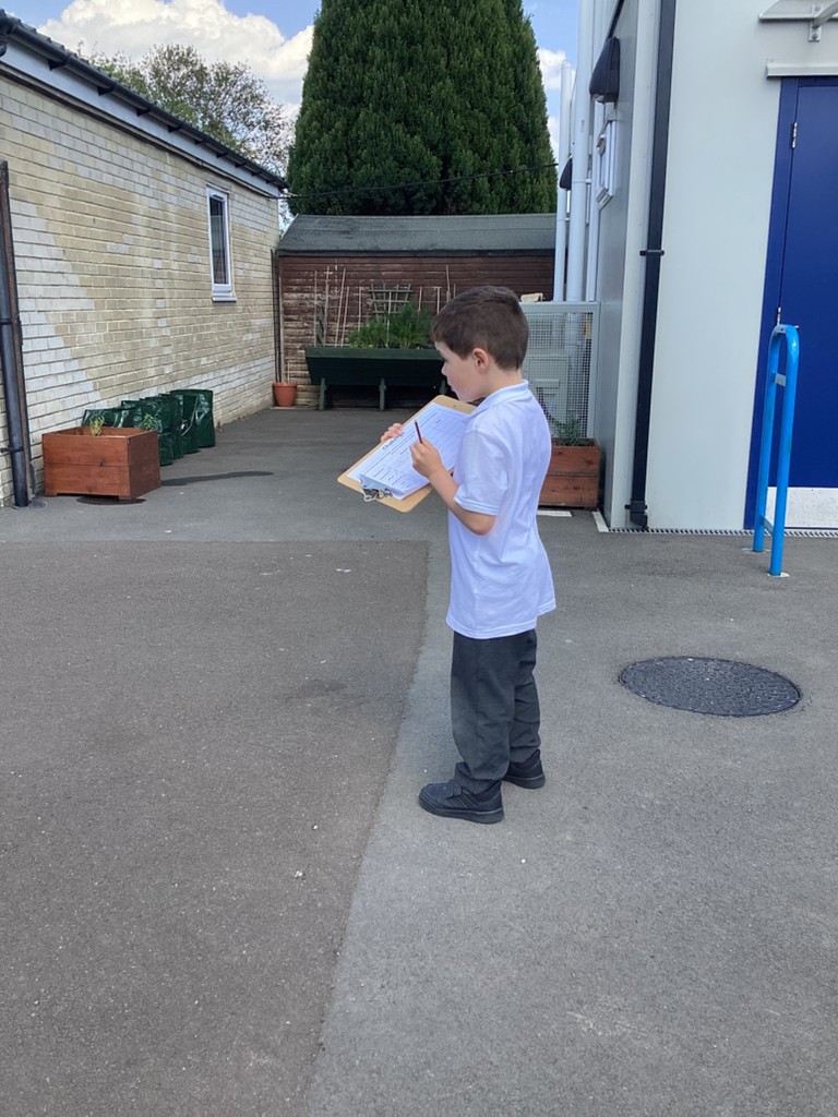
In geography, fieldwork is obviously a priority and when making maps we have to do the research. To begin with we looked at how we would represent our environment on a map. We identified items on a prepared map before drawing a map of our own, very familiar classroom. Next we went on a information gathering tour of our site. Managing a clipboard and a pencil is a skill in its self and we all did very well on that.
We are familiar with how to make a pictogram from our work last term so we repeated this to gather information to make a map of our site. We stopped to record a various places around the school, checking that we were not making double recordings when classrooms were seen from different locations.